VVV - Portions des itinéraires du SRIT Picardie
Niveau intermédiaire de la segmentation des itinéraires du SRIT de l'ex-région Picardie
default-legacy
- Date (Creation)
- 2017-03-28
- Point of contact
-
Organisation name Individual name Electronic mail address Role Région Hauts-de-France
Service SIG
Resource provider
-
GEMET inspire themes - version 1.0
-
-
Réseaux de transport
-
-
Départements
-
-
AISNE
-
OISE
-
SOMME
-
- Theme
-
-
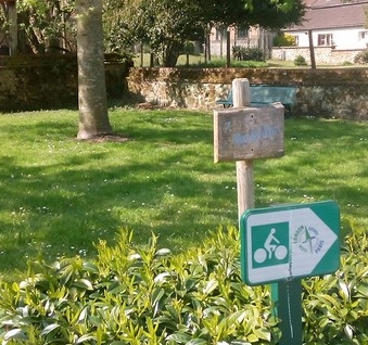
Véloroute
-
Veloroute
-
VVV
-
Vélo
-
Voie verte
-
Véloroute voie verte
-
- Language
-
fre
- Character set
- UTF8
- Topic category
-
- Transportation
N
S
E
W
))
N
S
E
W
))
- Reference system identifier
- EPSG / Lambert 93 / 7.4
- Reference system identifier
- INSPIRE RS registry / grégorien
- OnLine resource
-
Protocol Linkage Name OGC:WMS
https://www.geo2france.fr/geoserver/geo2france/ows portions
OGC:WFS
https://www.geo2france.fr/geoserver/geo2france/ows geo2france:portions
- Hierarchy level
- Dataset
- Statement
-
Recalage sous Orthophoto et découpage des itinéraires terrain, définis dans le cadre du SRIT, sous QGIS afin d'en créer des portions.
Metadata
- File identifier
- 540ee491-f276-42bc-871f-22551735d5f6 XML
- Metadata language
-
fre
- Character set
- UTF8
- Hierarchy level
- Dataset
- Hierarchy level name
-
Série de données
- Date stamp
- 2022-07-06T16:45:03.329681Z
- Metadata standard name
-
ISO 19115:2003/19139
- Metadata standard version
-
1.0
- Metadata author
-
Organisation name Individual name Electronic mail address Role INDDIGO
Point of contact
Overviews
vvv
Spatial extent
N
S
E
W
N
S
E
W
Provided by

Associated resources
Not available