Occupation du Sol en 2 dimensions (OCS2D) millésimes 2005, 2010, 2015 et 2021 sur le territoire de la région Hauts-de-France
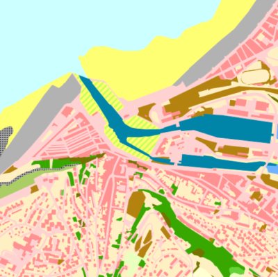
Occupation du sol deux dimensions (couvert et usage), sur la région Hauts-de-France (2021), l'ancienne région Nord-Pas de Calais (2005 et 2015), l'ancienne région Picardie et le Pays Interrégional Bresle Yères (2010). 33 postes de nomenclature en couvertures et 53 postes de nomenclature en usage au niveau 3.
default-legacy
- Date (Creation)
- 2025-04-10
- Date (edition)
- Citation identifier
- 327f15f9-1194-4e6f-a34f-384ecf847b75
- Point of contact
-
Organisation name Individual name Electronic mail address Role Géo2France
Owner
- Maintenance and update frequency
- Not planned
- Theme
-
-
Occupation du Sol
-
Occupation du Sol à 2 dimensions
-
ocs2D
-
données ouvertes
-
couvert du sol
-
-
GEMET - INSPIRE themes, version 1.0
-
-
Occupation des terres
-
- Classification
- Unclassified
- Other constraints
- Pas de restriction d’accès public
- Use constraints
- Other restrictions
- Other constraints
-
Licence Ouverte version 2.0 https://www.etalab.gouv.fr/wp-content/uploads/2017/04/ETALAB-Licence-Ouverte-v2.0.pdf
- Spatial representation type
- Vector
- Denominator
- 5000
- Language
- Français
- Character set
- UTF8
- Description
-
Pays interrégional Bresle-Yères (SCOT approuvé), Hauts-de-France (Région)
))
- Reference system identifier
- EPSG / RGF93 – Lambert 93 (EPSG:2154)
- OnLine resource
- Hierarchy level
- Dataset
- Date
- Statement
-
Base de donnée créée à partir d'orthophotographies aérienne panchromatiques de 2005, 2010, 2015 et 2021 à 20 cm de résolution. Le tracé vectoriel a été réalisé à l'échelle du 1/2 500ème sur les secteurs non-artificialisés et au 1/1 500ème sur les secteurs artificialisés.
Metadata
- File identifier
- 327f15f9-1194-4e6f-a34f-384ecf847b75 XML
- Metadata language
- Français
- Character set
- UTF8
- Hierarchy level
- Dataset
- Date stamp
- 2025-04-11T09:26:46.34142Z
- Metadata standard name
-
ISO 19115:2003/19139
- Metadata standard version
-
1.0
- Metadata author
-
Organisation name Individual name Electronic mail address Role Géo2France
Point of contact
Overviews
Spatial extent
Provided by
